 |
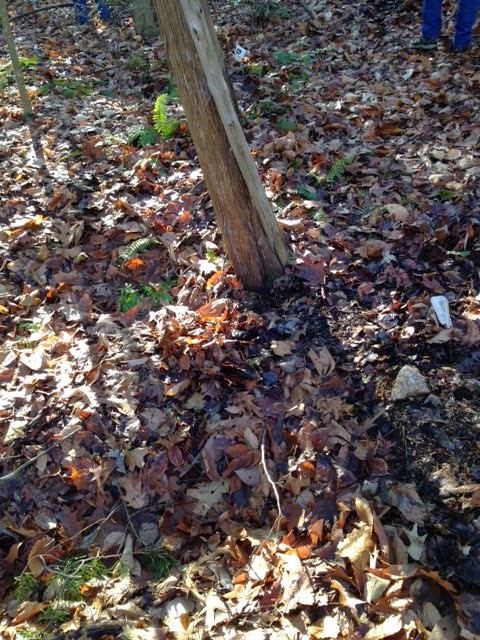
| Two burial sites (depressions) Notice white flag and rock at head of one John England Family Cemetery, Stafford, VA |
On April 4, 2014 I wrote about John England and his Seine
Pocket Farm located between our Del Webb development and the Rappahannock
River. One of our goals since then was to locate the England Family Cemetery.
We acquired the deed that stated when the family sold the farm to the
Fredericksburg Power Company, they reserved a 150 square grave site.
On this beautiful sunny 70+ degree day we met with three
women from the Stafford County Cemetery Association who in 2011 located this
cemetery. We walked with them on the trail to relocate it. Easily done as the map she had drawn
marked out the turn in the path, at which the burials were located. We could
easily see many of the depressions.
My husband marked a few with flags. Burials done at that time did not have cemetery stones
as we know them, but just rocks placed at the head and foot of each plot, with
head facing east.
The cemetery is on high ground, overlooking the Rappahannock,
though obviously placed on land not tillable. We located a temporary marker, but it was rusted so
contained no information. We are
excited to locate this cemetery, and have plans for cleaning it up and erecting
a marker stating: John England Family
Cemetery. We might even put up
corner fence to define the outer limits of the burial sites.
Next on the list is to locate the farmhouse and to clear
that site. We want the England
family descendants to know that although developers have come close to their
property, we residents respect the history of the England family and Seine
Pocket Farm, and won’t let them be forgotten.
No comments:
Post a Comment